Barwon Water
Geelong, Bellarine, Surf Coast and Colac.

HYDRANTFINDER · NOW ON THE APP STORE
Published data. A clearer view on the ground.
HydrantFinder brings publicly accessible hydrant and fire-plug locations into a quick-access app for first responders. Open the map for context, or switch to the compass to see the distance and bearing to nearby hydrants.
Now on the App Store: search “HydrantFinder” to download it. Coverage grows as more authorities publish their data.
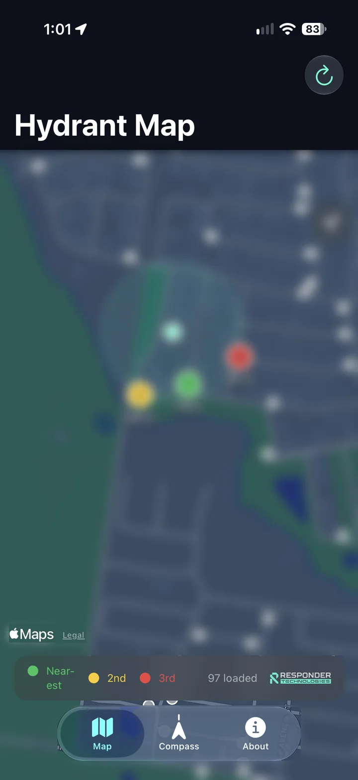
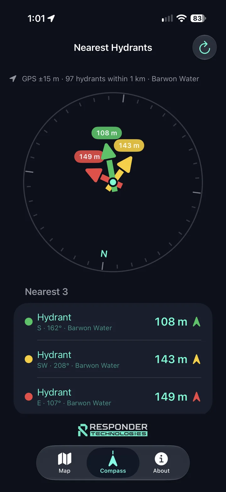
See nearby published
hydrant locations.
Check distance and bearing
to the nearest three.
Verify on the ground.
Follow brigade procedures.
A QUICKER WAY INTO THE DATA
Two views of nearby locations, with the source and coverage kept in view.
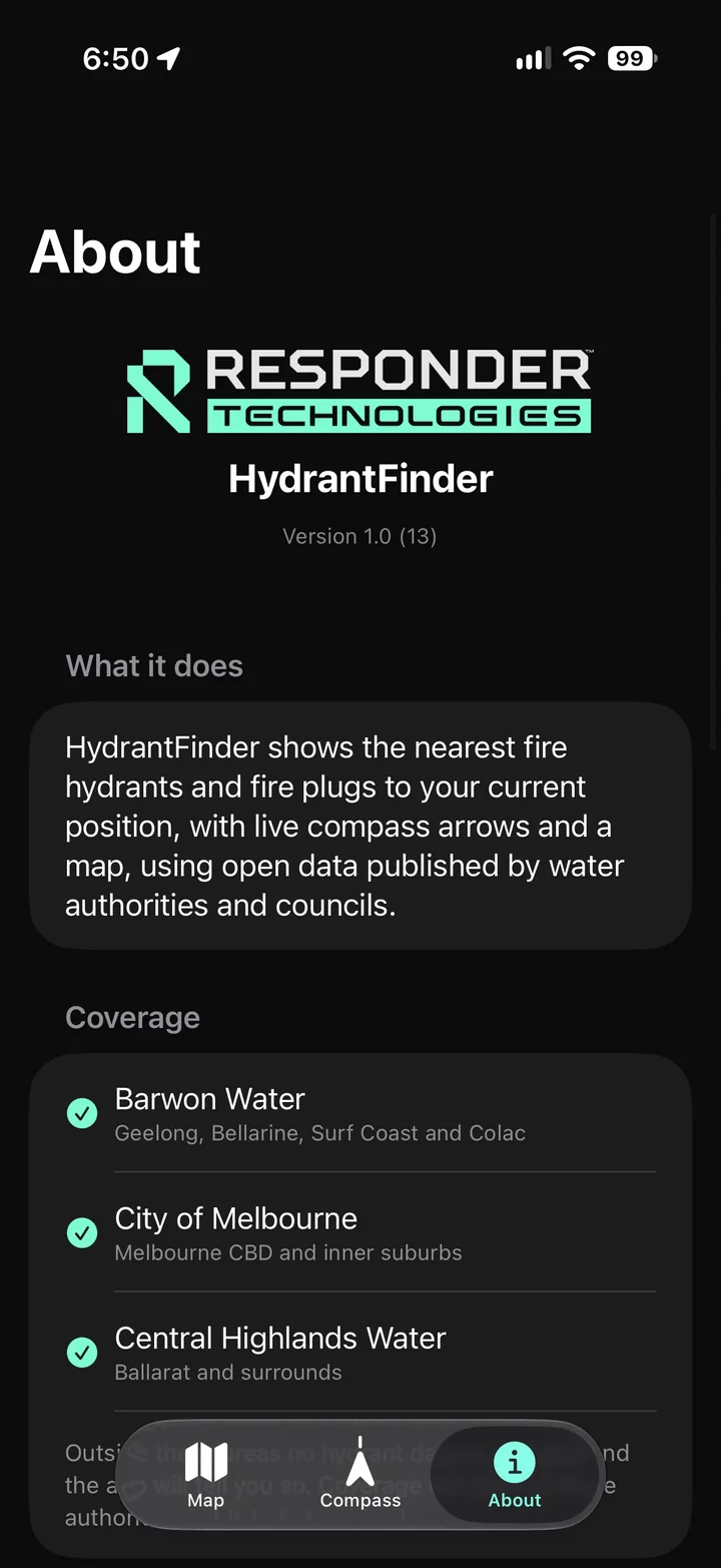
Screens are from the app. Locations, distances and GPS accuracy are captured examples, not a live website map. The map location is blurred for privacy.
CURRENT COVERAGE
The app currently includes the following published datasets. Coverage varies by area and data provider.
Geelong, Bellarine, Surf Coast and Colac.
Melbourne CBD and inner suburbs.
Ballarat and surrounds.
Coverage can grow as suitable public datasets become available and are integrated. A listed region does not guarantee that every asset is recorded or current.
BUILT AROUND RESPONDER USE
Developed by CFA volunteers at Responder Technologies. A percentage of any profits from the app goes back to the volunteer brigade, with a focus on quick access to published location information.
Use the map to support local familiarisation and identify published hydrant locations to check during area visits.
Bring location awareness into brigade exercises and pre-planning discussions, alongside local knowledge and established procedures.
Use the compass and distance view as an additional reference when locating and confirming an asset in the field.
A SUPPORT TOOL FOR FIRST RESPONDERS
HydrantFinder uses third-party public datasets, which may be incomplete, out of date or inaccurate. GPS and compass accuracy vary with the device and conditions.
A map pin does not confirm an asset’s condition, access, flow or water pressure. Always confirm hydrant positions on the ground and follow your brigade’s procedures. Do not rely on the app as your sole source of operational information.
Data remains subject to each publisher’s licence. Map imagery in the supplied app screens © Apple.Ask about HydrantFinder, share feedback from your brigade or discuss a published dataset for your area.